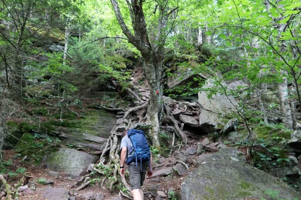
In this article, Caden and I hike from Deruyter Reservoir into and through Highland Forest County Park along the Finger Lakes Trail.
Highland Forest County Park
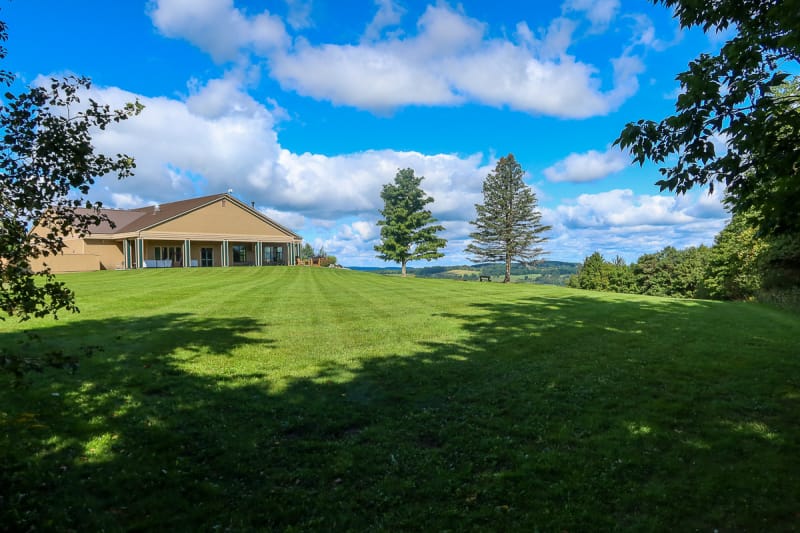
Highland Forest County Park is a place I always wanted to visit but never took the time to visit. Highland Forest is about 26 miles southeast of Syracuse, New York, with 20 miles of year-round trails and the Skyline Lodge event venue.
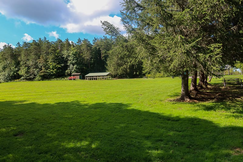
The trails are wide and well-maintained and the park has a variety of pavilions and other shelters where you can picnic or hold get-togethers.
Highland Forest County Park is so large and has so many trails that it deserves its own article.
But I’m getting ahead of myself. Caden, my Springer Spaniel, and I are section hiking the Finger Lakes Trail, and we didn’t start this section at Highland Forest.
We started at the large grassy parking area on East Lake Road on the eastern shore of Deruyter Reservoir, east of Highland Forest. The parking area is where we left off on our last hiking article.
Getting Across Deruyter Reservoir
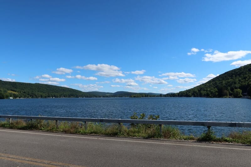
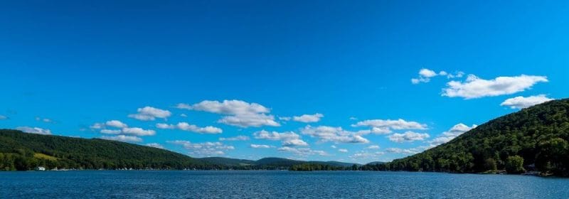
From the grassy parking area, there’s a short walk north along East Lake Road before turning west onto Dam Road. The road across this dam offers nice views of the reservoir and the unnamed hills to the south.
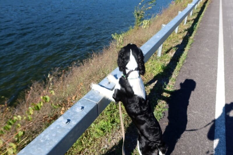
Caden was constantly looking over the railing, wanting to scoot down the bank into the water.
If you’re not walking the Finger Lakes Trail and want to only walk into Highland Forest and not pay the parking fees, – Onondaga County parks often charge for parking – there is a parking area on the west side of the reservoir at the junction of West Lake Rd., Dam Rd., and Deruyter Road.
At this point, the FLT crosses Deruyter Road and heads up the hill to the west.
Through the Woods to Highland Forest County Park
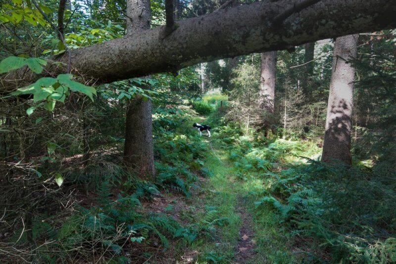
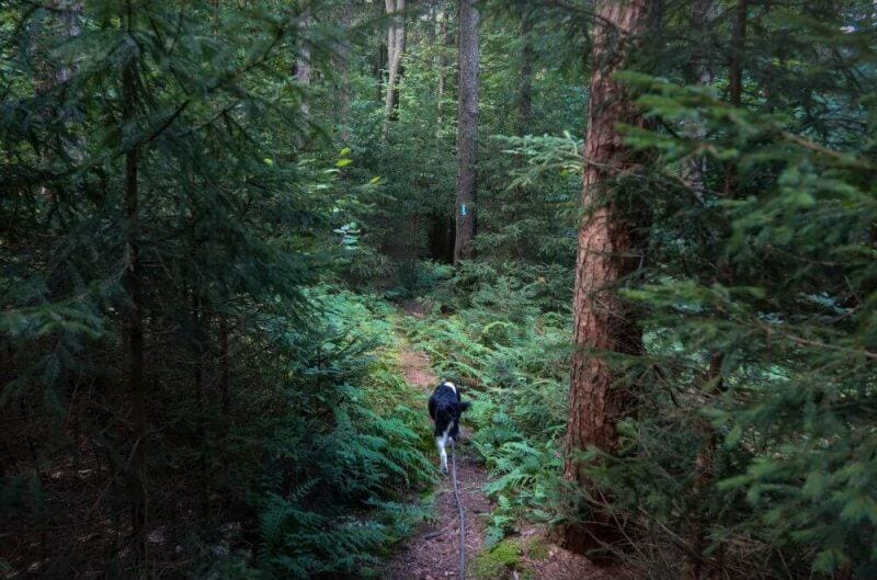
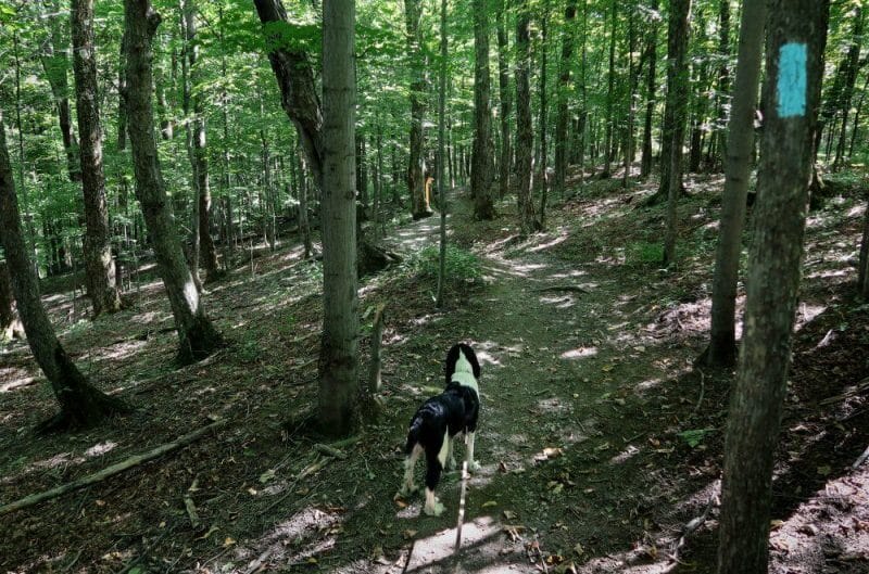
Even though the trail starts on some level roads and gentle slopes, as you enter the woods on the west shoulder of Deruyter Road, you start to climb.
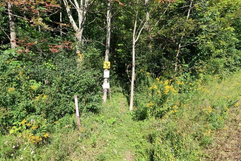
Note: My trail description, route, and conditions are explained as seen on the day of my hike. These can and will change with the weather, seasons, time, and maintenance. The explanation is meant to give the reader some idea of what may be encountered, not necessarily as they may find it later.
The terrain quickly becomes steeper and switchbacks up 400 vertical feet before you cross the boundary into Highland Forest County Park.
My View From The Woods is a participant in the Amazon Services LLC Associates Program, an affiliate advertising program designed to provide a means for sites to earn advertising fees by advertising and linking to Amazon.com. As an Amazon Associate, we earn from qualifying purchases. We may earn a small commission from the companies mentioned in this post at no additional cost. Not all links are connected to affiliate companies.
First Part of Our Route to Highland Forest
Below is the first part of the route Caden and I took from the East Lake Road parking area into Highland Forest. The track map is created from my Garmin GPS. You can click the image to expand it for better viewing.
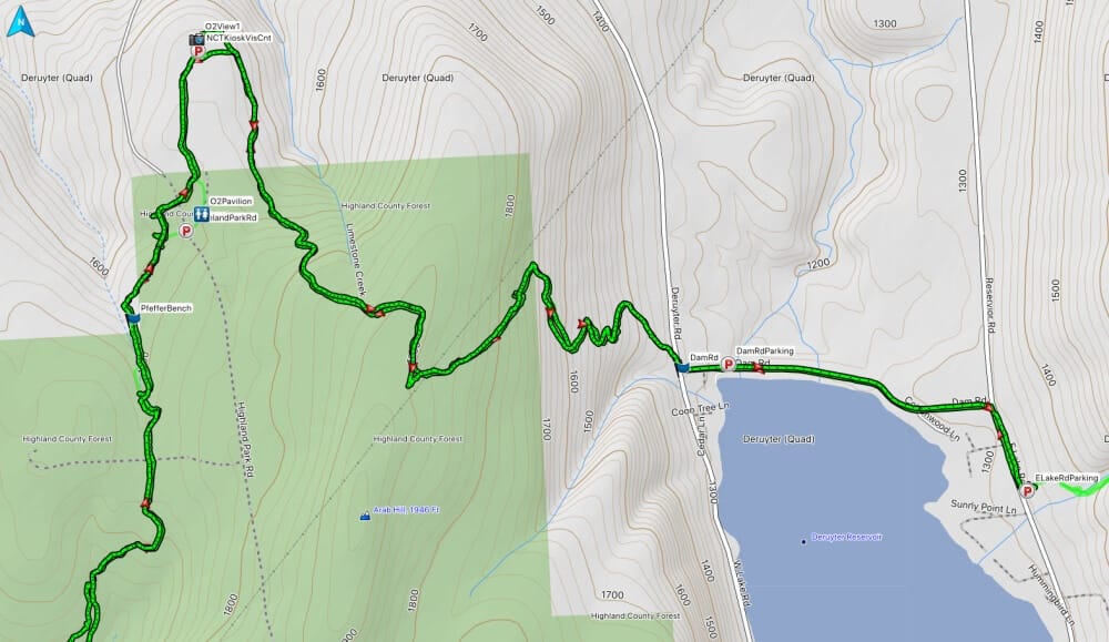
Dam road is about 1,300 feet above sea level, and the boundary of Highland Forest (green shading) is a bit above 1,700. You gain another 200 feet before the trail gradually descends to Skyline Lodge (which, according to the map, is surprisingly not in the forest boundary).
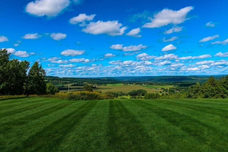
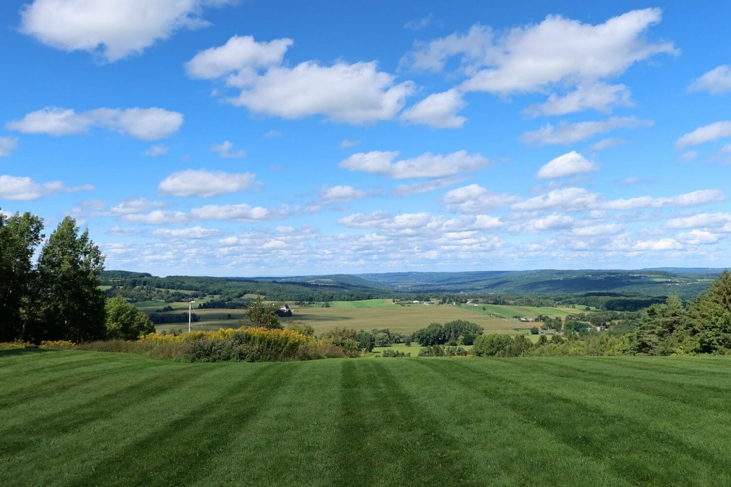
The views from Skyline Lodge are vast.
How is the Trail to Highland Forest?
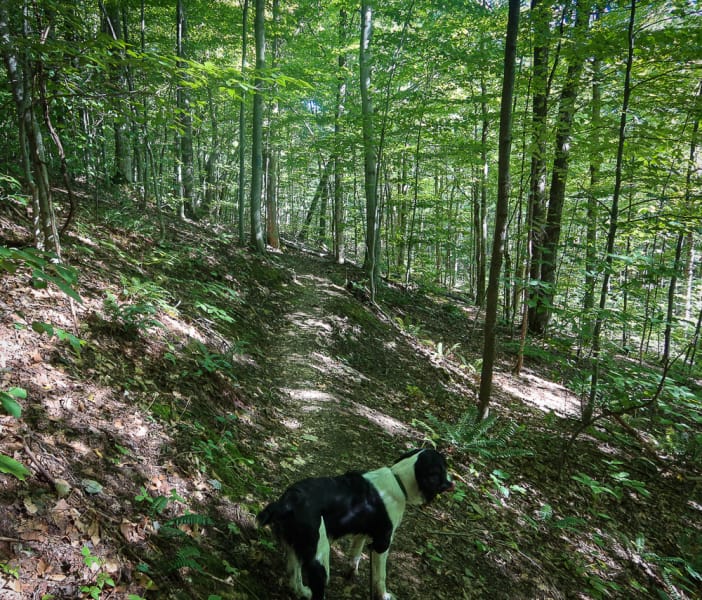
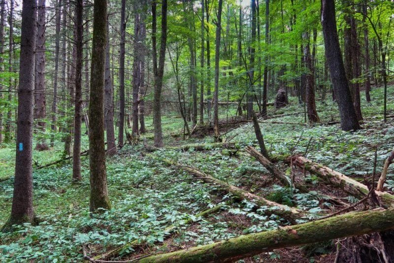
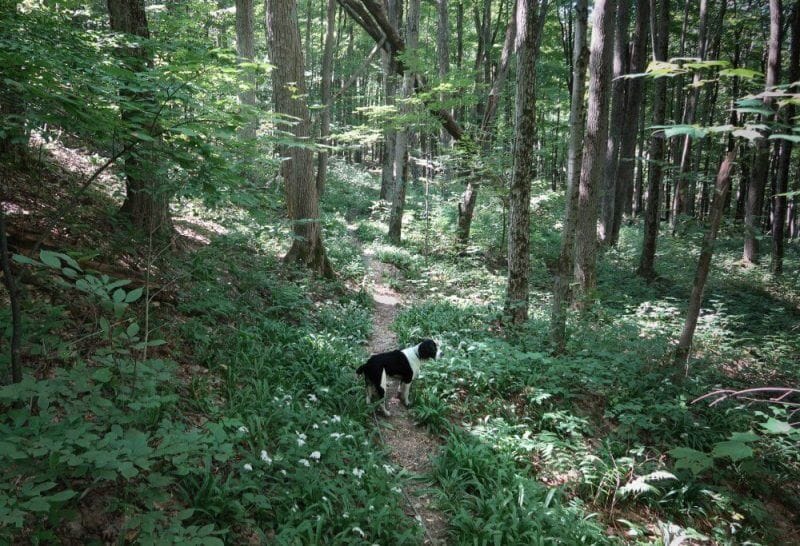
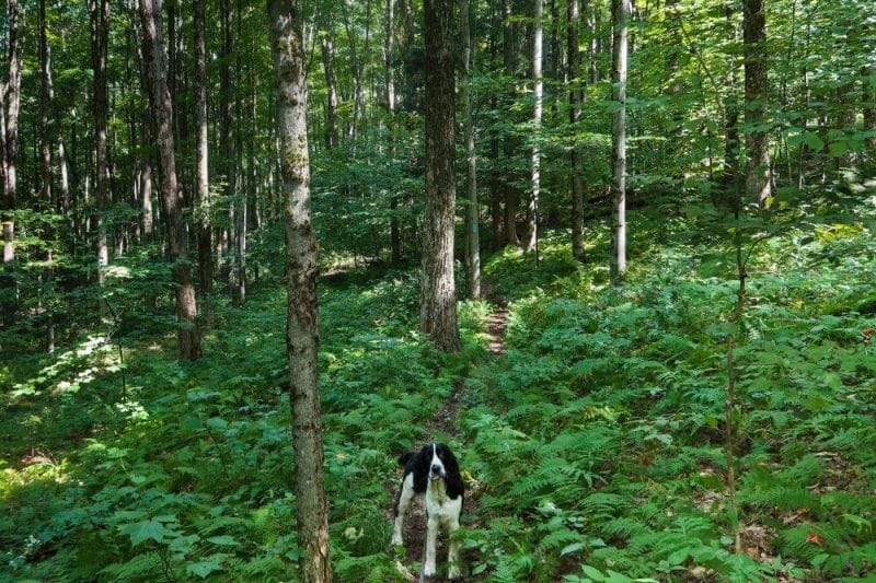
The trail to the east of Highland Forest is quite steep overall. But the switchbacks make the hike much easier than the first part of the climb.
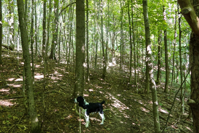
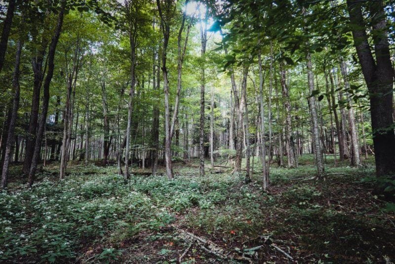
The woods are open, and the trail is well-maintained. Click any image in this article to expand for better viewing.
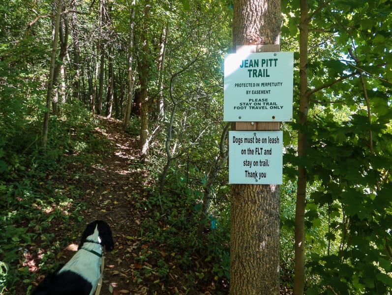
Thanks to those with the foresight to protect the property easement forever!
Trails Inside Highland Forest County Park
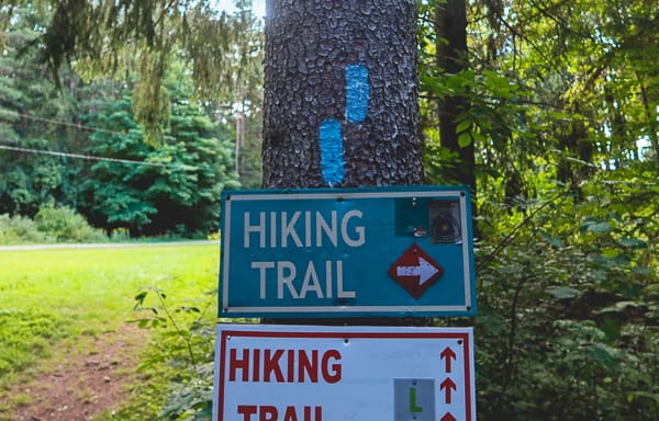
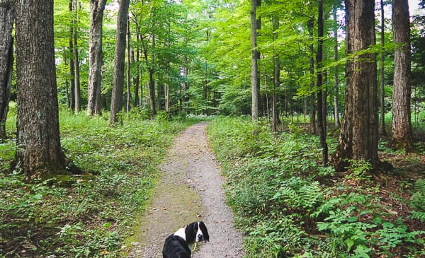
As you enter Highland Forest from the east, the trial becomes wider and more of gentle grades.
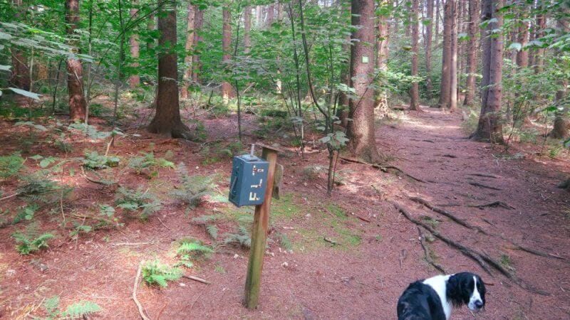
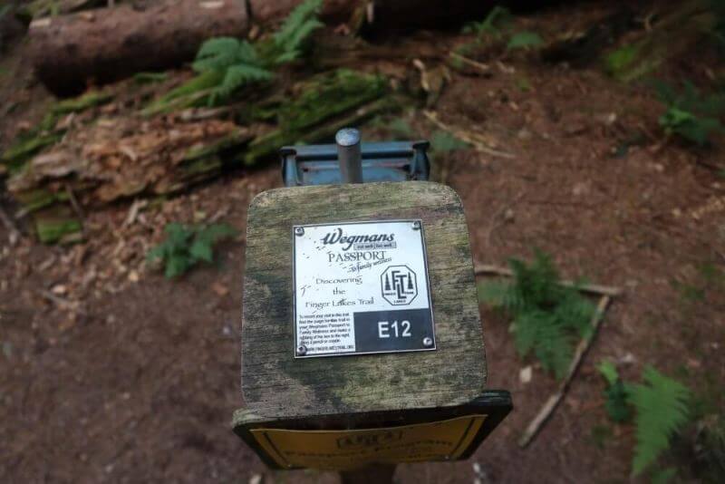
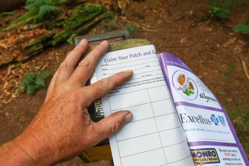
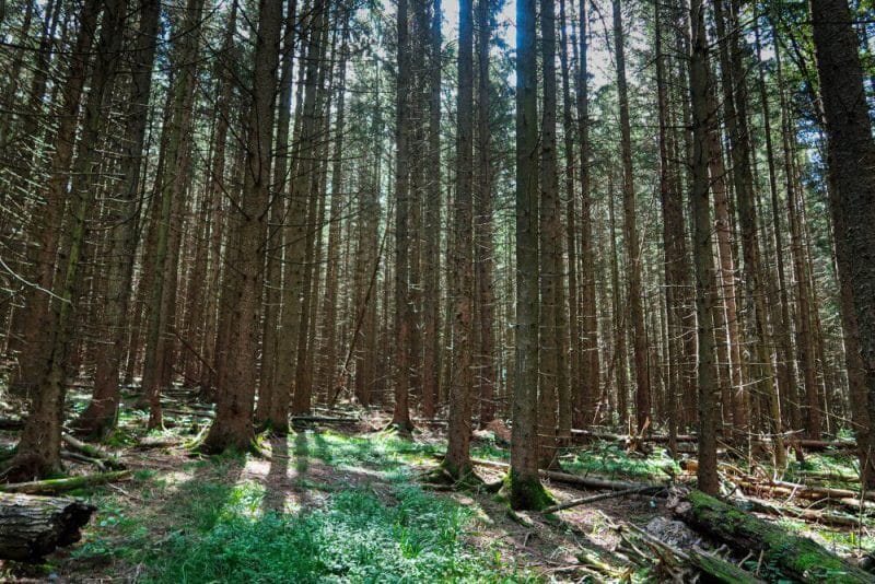
The woods’ views are nice and open, and there are quite a few interesting trees and plants to view (more on these later in the post). Also, if you haven’t heard of the Wegmans “Hit the Trail” Passport, you can learn more by clicking the link.
One of the tracing posts is in Highland Forest. The number is E12. Although I didn’t expect to get all the traces, I was there, so why not?
Highland Forest County Park Proper
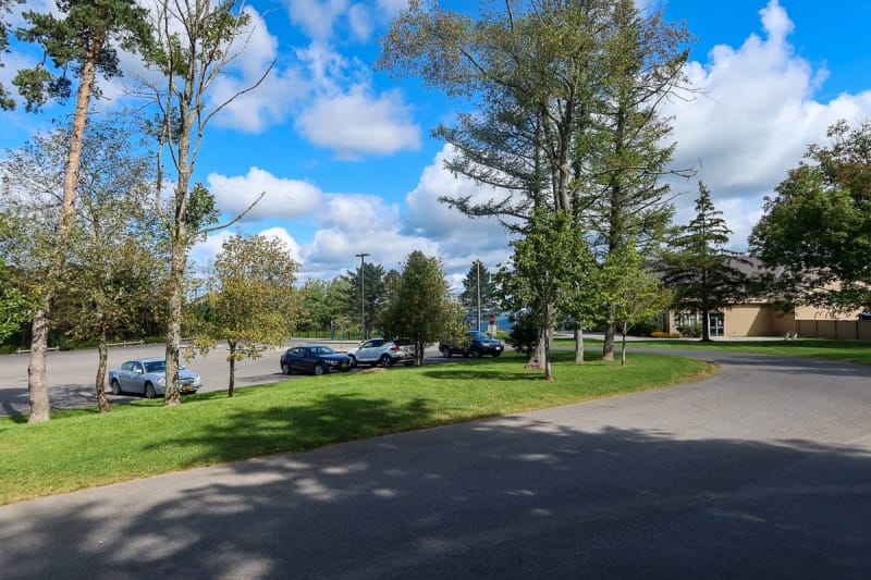
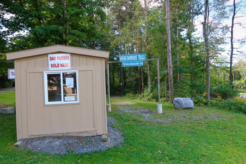
As you near Skyline Lodge and the parking areas, the trails are well-worn and very wide, and unlike much of the Onondaga Branch of the Finger Lakes Trail, you find many people along the trails.
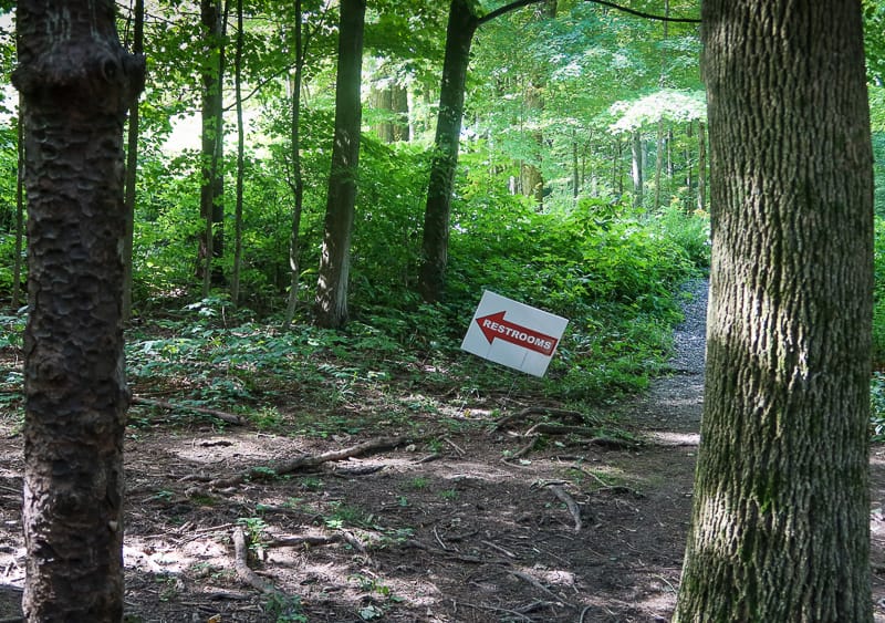
Besides the large Skyline building, there are outbuildings and pavilions, many loop trails, and even restrooms.
I call these County Parks, such as Highland Forest and Beaver Lake Nature Center, faux nature. I guess people are getting out, breathing fresh air, exercising, and enjoying something they normally don’t see.
But it’s not for me. The masses can have them.
The Better Parts of Highland Forest County Park
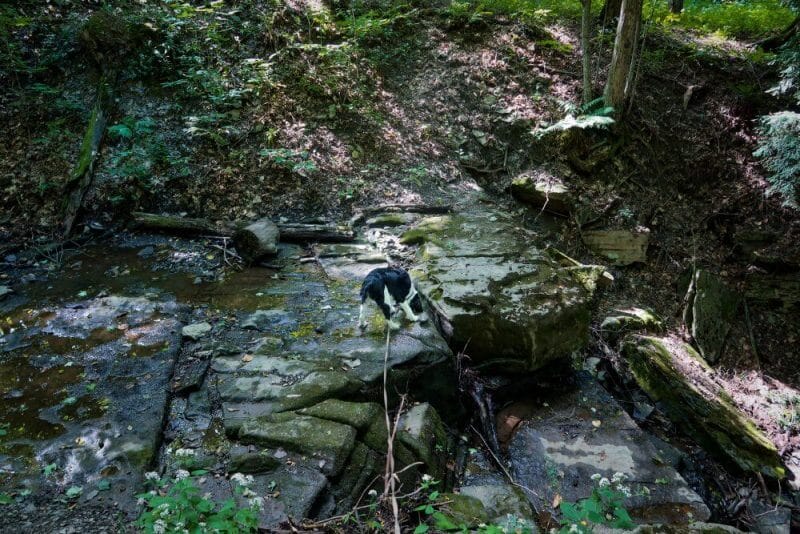
As much as I pick on Onondaga County Parks as faux nature, there are some beautiful spots in the parks.
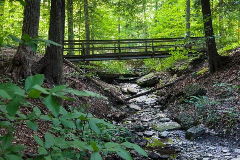
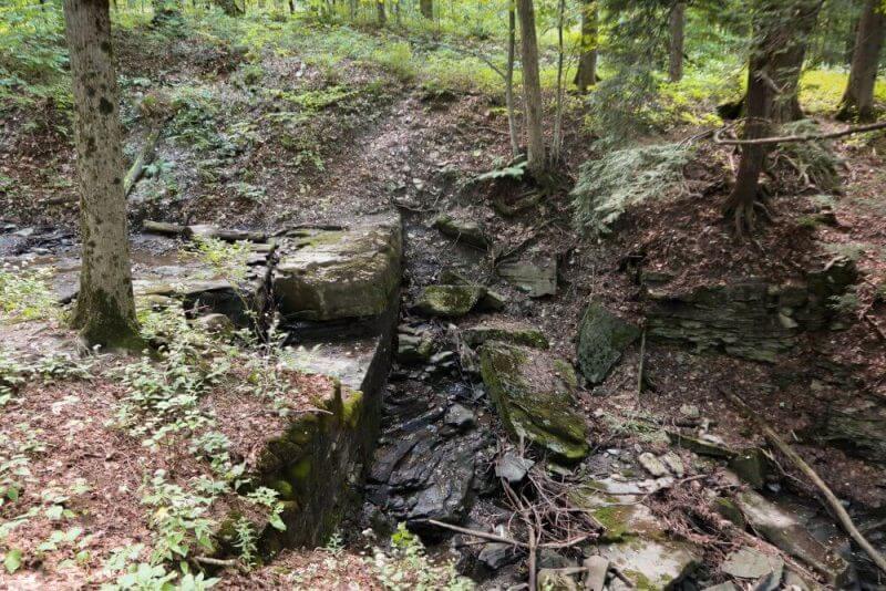
Such as these within Highland Forest.
I guess I like rocks, falls, and trees…
Heading South Out Of and Back Into Highland Forest
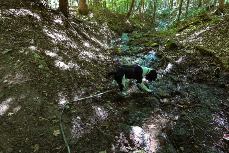
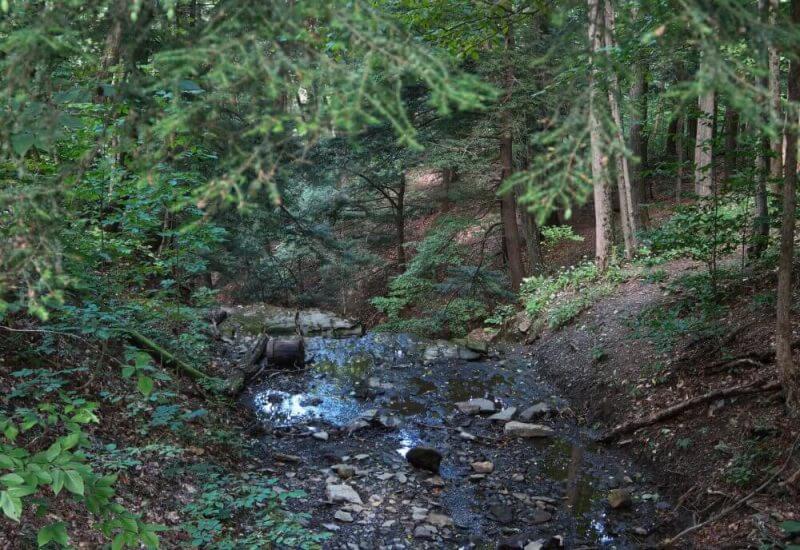
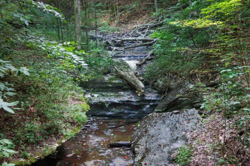
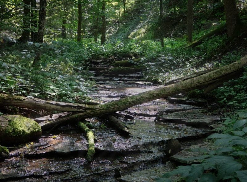
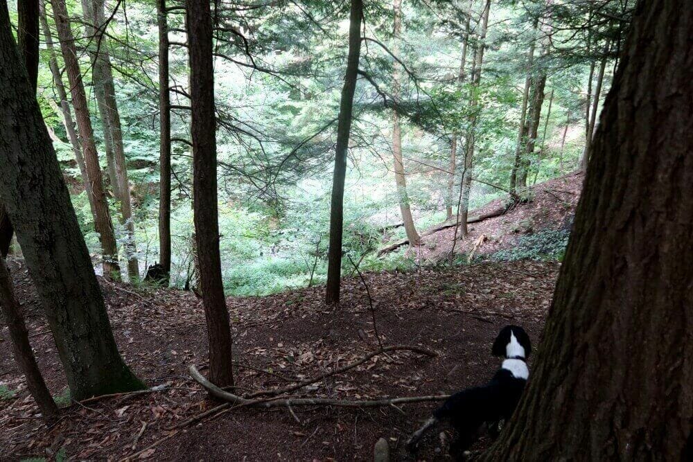
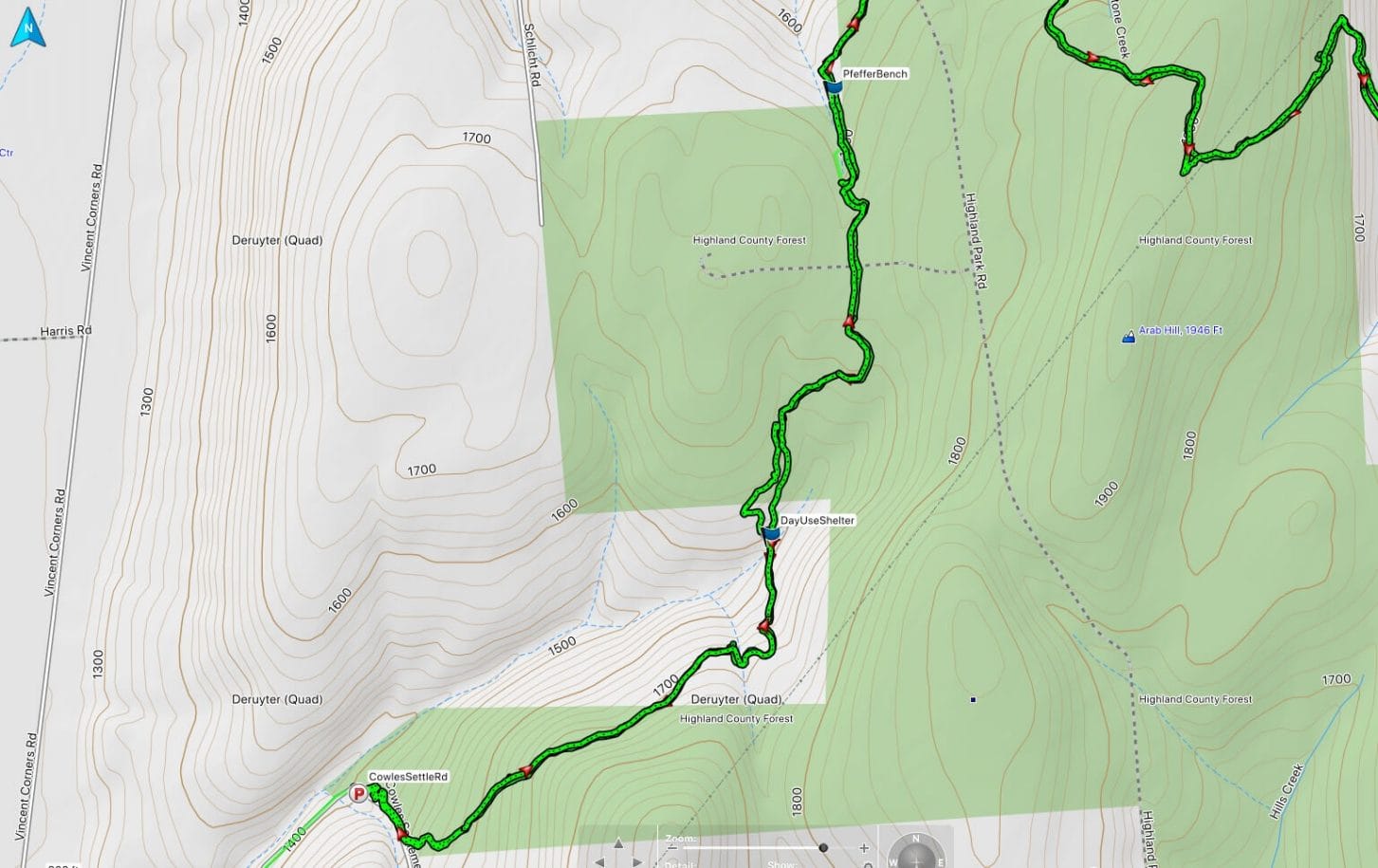
As you follow the Onondaga Trail Branch within Highland Forest, you turn south through a nice part of the park, down into the headwaters of a small stream, then up the other side.
The stream ravine is not within the borders of Highland Forest, but eventually, you cross back into a lesser-used section of the county forest land and exit the park at Cowles Settlement Road.
Cowles Settlement Road is my turnaround for this section hike.
Shelter on the Trail
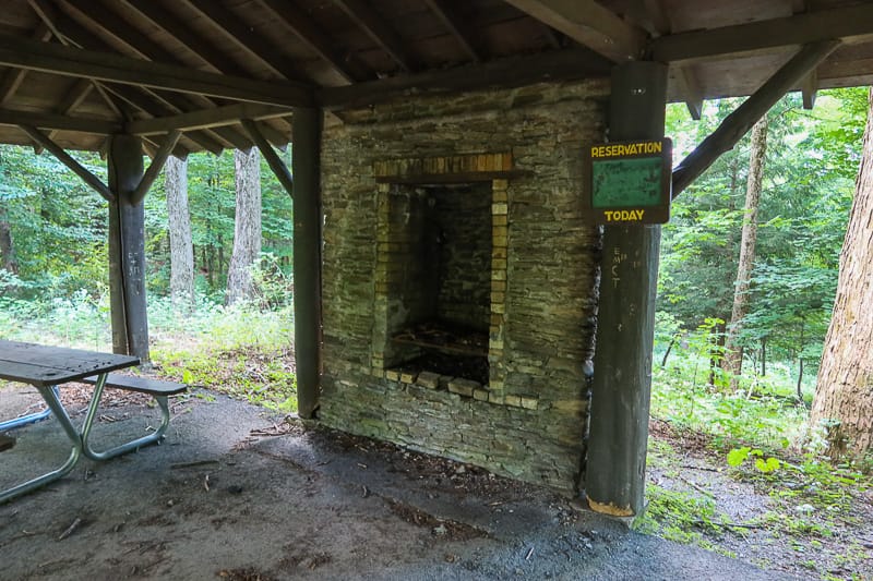
Below the headwaters of the stream, outside the park property, is a nice small Shelter.
Here is where Caden and I ate lunch.
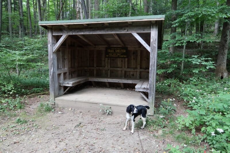
A little less noisy and busy than Skyline Lodge, if not a little more buggy. Nonetheless, a good place to take off the pack, camel up, and eat a snack or lunch.
The Rest of the Section
This portion of the section is very similar to the area entering Highland Forest. Some elevation change, beautiful open woods, and a stream to listen to and look for fossils.
Click the photos to expand and for a more clear image as the gallery distorts them.
End of the DeRuyter Reservoir to Cowles Settlement Road Section
Caden and I ended, well, turned around and walked back from Cowles Settlement Road.
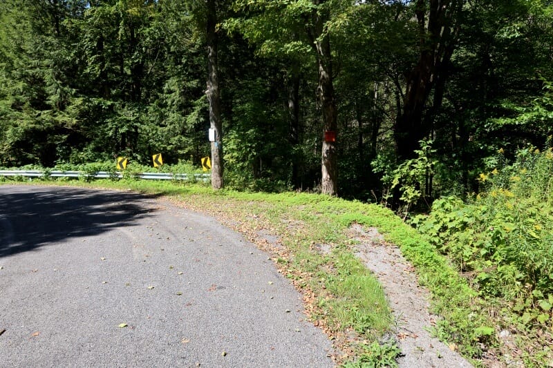
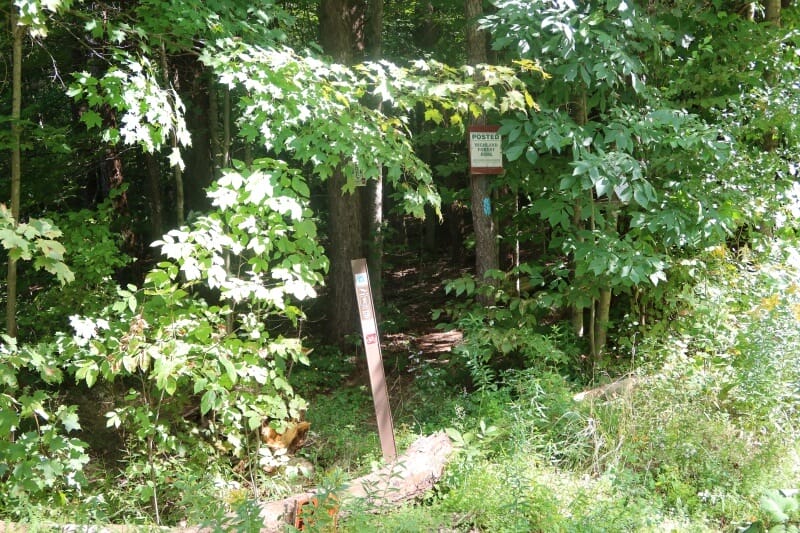
A parking area (shown in the photo below) is on the bend of Cowles Settlement Road. The trailhead north (back to Deruyter Reservoir) is up the hill on the left and is inconspicuous unless you are looking for it.
Section Stats
This section from the parking lot on East Lake Road on the east side of Deruyter Reservoir to Cowles Settlement Road through Highland Forest County Park was 6.2 miles.
The elevation change was only 2012 feet. Most of the trail in this section is quite level except for the start of the wooded sections on both ends.
It took Caden and me a little over 6 hours to do, but I poked around and took photos, and videos, looked for fossils, and took a snack and treat breaks for the both of us.
How I Rate this Section of the Onondaga Trail
I rate this section of the Onondaga Trail a solid 5 out of 5.
It’s a fun, relatively easy section of the trail to hike.
I would hike this section the opposite way I did it. I would start at the Cowles Settlement Road parking area and walk up to Highland Forest and down to DeRuyter Road, skipping the Reservoir Dam walk.
Although, looking across the reservior was nice.
Some of the Interesting Things Caden and I Saw in this Section – Like Fake Snakes
Here are a few photos I took on this section hike that I enjoyed.
But this one stuck out and, if I have to admit, startled me! I jumped, and as in the photo, I saw the rocks, bent over to read them, then saw the snake!
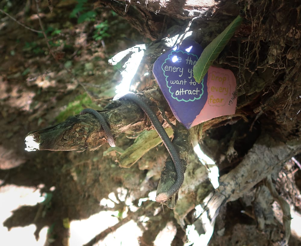
Written on the rock are: “Be the energy you attract” and “Drop every Fear.”
I’m not sure fear is what I dropped…
This section would be nice for a family to hike. A bit of work but not too much, and nice views

