The Cranberry Lake 50, or the CL50, is a trail that circumvents Cranberry Lake in the western Adirondacks. The number 50 comes from the trail length of approximately 50 miles.
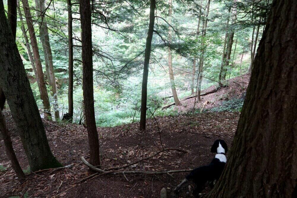
The trail goes through Wanakena, the NYDEC Ranger School, and the Village of Cranberry Lake all on the west and northwest side of the Cranberry Lake. The rest of the trail is in the remote woods.
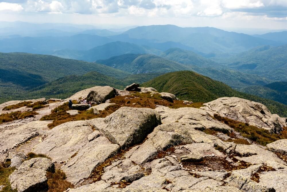
The trail is surprisingly hilly even though it is around the lake, and you hike near spots like Cat Mountain and the High Falls of the Oswegatchie River. The trail also is known for its path across a few beaver dams.
I will show a map of the area along with my GPS route and where Caden and I stayed each of the three nights.
I will write more about my thru-hike of the CL50 later. But I wanted to post a gallery of the photos from around the trail as I re-edit them.
All of the photos in this gallery were taken on an old iPhone 8 if you can believe it. I hiked the CL-50 before I had my Fujifilm camera. I might hike the trail again to take large file-size images for printing. Hopefully, I can catch the weather as well as I did on this trip.